Address: El Caminito del Rey, 29550 Ardales, Málaga, Spain
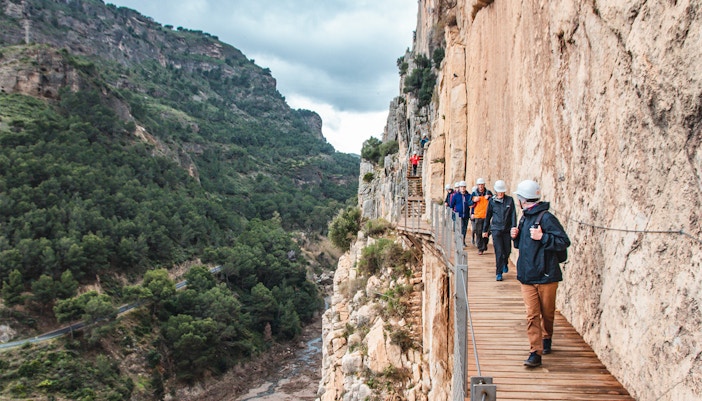
Caminito del Rey is nestled in the beautiful gorges of the central part of Malaga province between Ardales, Antequera, and Alora, around 60 kilometres north of Malaga city.
Closest landmark: Bobastro Ruins (9.3 km)